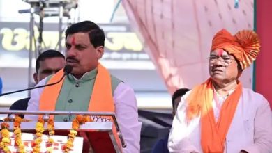
Chief Minister Shivraj & Minister Bhupendra Singh released the Master Plan 2031 of Bhopal.

After a long time, finally the draft master plan of Madhya Pradesh’s capital Bhopal was released. After the permission of Chief Minister Shivraj, Minister Bhupendra Singh released the Master Plan 2031 of Bhopal.
According to the new amendment, the catchment area of Upper Talab will increase by 331 hectares.
A 60 meter wide road was proposed from Awadhpuri to Hataikheda in the Master Plan 2005, whose 5.2 kilometer long portion was deleted in Bhopal Development Plan (Draft) 2031.
In Master Plan 2031, a 60 meter wide road is proposed from Kolar Road to Bilkisganj. Its route passes over the existing Kanhakunj Colony.
In Bhopal Development Plan – 2005, the green areas related to the lakes should be kept intact.
Rationalization of the width of the Transit Oriented Development (TOD) corridor associated with Metro Rail. Restructuring of base FAR, so that TDR and premium on FAR can be encouraged.
Rules for Bhoj Wetland have been prepared by Wetland Authority and published on 16.03.2022. These rules have been included in Bhopal Development Plan (Draft) 2001. Under the Wetland Rules, no such activity can be conducted in Upper Lake and its surrounding area, which will have an adverse effect on the pond.
In the Master Plan 2031, FTL on the southern side of Upper Lake. A 15.7 kilometer long road of 45.0 meters has been proposed from village Barkhedi Kala, Gaura, Barkheda Nathu up to Khajuri road on Indore road.
There was a provision of village extension up to 250 meters from the rural population of the catchment area of the Master Plan 2031. Balancing the need of development of villages in the catchment area and the ecology of the big pond, provision has been made to reduce it to 100 meters for village expansion.
In the Master Plan 2031, in the catchment area of Upper Jheel, on the north side of Bairagarh to Indore road, provisions were made for residential and other land use on about 1659 hectares of land. under agricultural use.
In Master Plan 2031, 357.78 hectares of government land located in village Chandanpura / Mendora Mendori was proposed under public and semi-public land use, which is shown as forest land due to being a forest land. An area of 85.74 hectares adjacent to Kaliasot Dam and on the eastern side of Kerwa Marg was proposed as green area in Bhopal Development Plan-2005.
In Master Plan 2031, the area under FTL of Kerwa Dam was shown on the land use map as 340.16 ha, which was less than the actual water inundation area. On the basis of satellite image, the area of Kerwa Dam has been shown by determining 448.93 hectare after making amendments according to the actual water logging area.
In the master plan 2031, an area of 32.26 hectares in the north-western part of Hataikheda dam has been proposed as a low density residential area, while this area was reserved as a green area in the Bhopal Development Plan – 2005. Due to its proximity to the water logging area, it is again shown as green area.
In Master Plan 2031, mixed use was allowed on all roads of 12.0 meters and above width. Due to this, there will be a possibility of conducting intensive commercial activities within the residential areas, due to which the residents will face problems of congestion, pollution and parking. Therefore, the minimum width of the road for fixed use has been proposed as 18.0 meters instead of 12.0 metres.


